CSE (Centre de Suivi Ecologique) is one of the Early Adopters in Africa of the LUISA project, funded by the European Space Agency. CSE brings its decades of expertise in environmental monitoring and climate policy to tackle sustainable land management challenges in West Africa.
Based in Senegal, CSE operates as a non-profit association with a public service mandate, working closely with the government to track natural resources and inform policy decisions.
Through innovative use of Earth observation data, CSE monitors several environmental components from vegetation growth to wildfires, transforming raw satellite information into actionable strategies for climate resilience. “We are an association of public utilities through an agreement with the state of Senegal,” explains Abdoul Aziz Diouf, a lead researcher at CSE. “This allows us to assist the Senegalese state in monitoring the environment”.
History of CSE
Founded in 1986 and later recognized as an association of public utilities in 1993, CSE’s mission is to contribute to the sustainable management of natural resources and the environment by producing data-driven insights for decision-makers.
Data-driven environmental monitoring
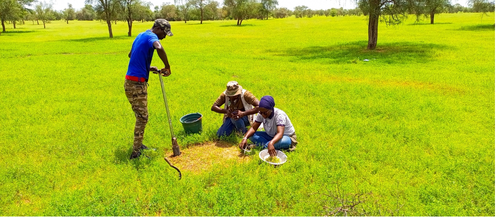
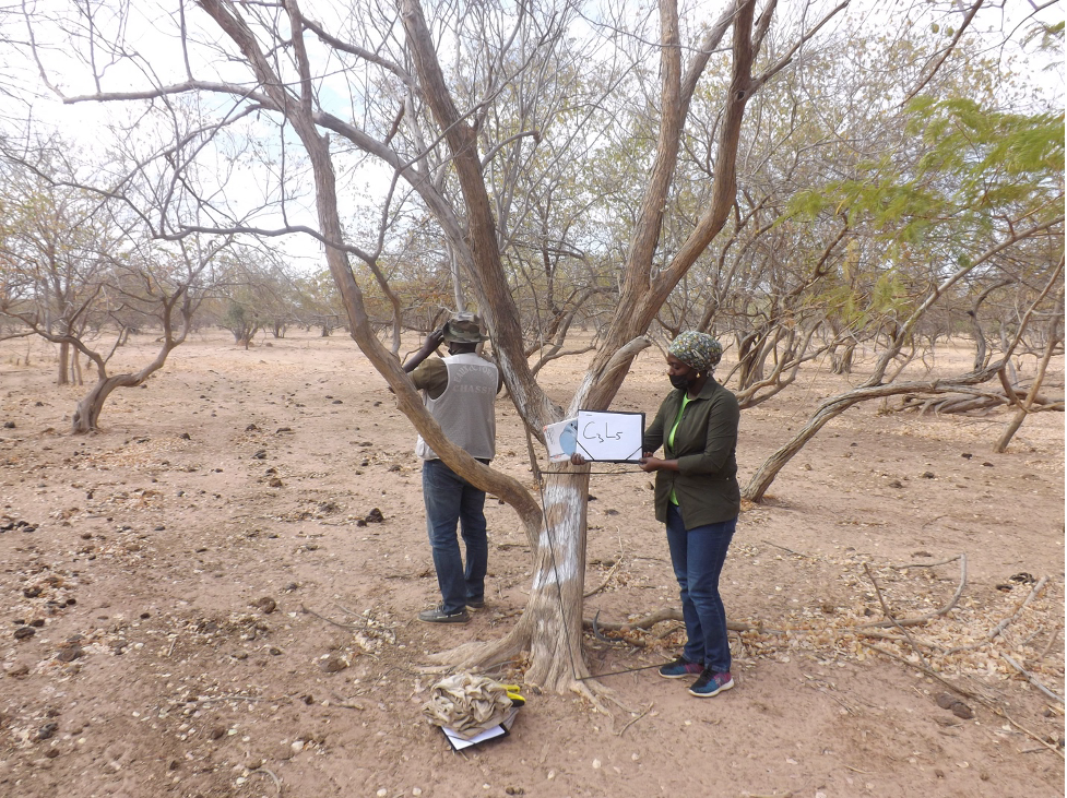
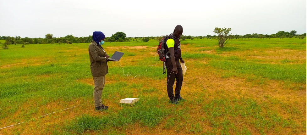
As the technical arm for Senegal’s Ministry of Environment, CSE specializes in observing and analyzing ecological conditions across the country. Every year, CSE scientists use satellite remote sensing and in situ data to assess fodder biomass production on rangelands, a critical task in a nation where pastoralism is a major livelihood. They also keep watch on bushfires during the dry season, providing early warning and trend analysis for natural resource managers. All these monitoring activities feed into decision-support tools, effectively making CSE the “technical hand” that helps authorities manage Senegal’s environment.
Over the years, CSE’s role has expanded beyond monitoring. The organization now leads on climate change adaptation and finance initiatives, guiding both policy and practice. CSE has been accredited to international climate funds – the Adaptation Fund and Green Climate Fund – since 2010 and 2015, respectively, enabling it to help develop projects in Senegal and across Africa.
This blend of technical and policy work positions CSE at the nexus of environmental science and sustainable development. In Diouf’s words, “we are a research institution mostly specialized in Earth observation data use and application development for monitoring the environment and managing natural resources across Senegal”.
Joining LUISA
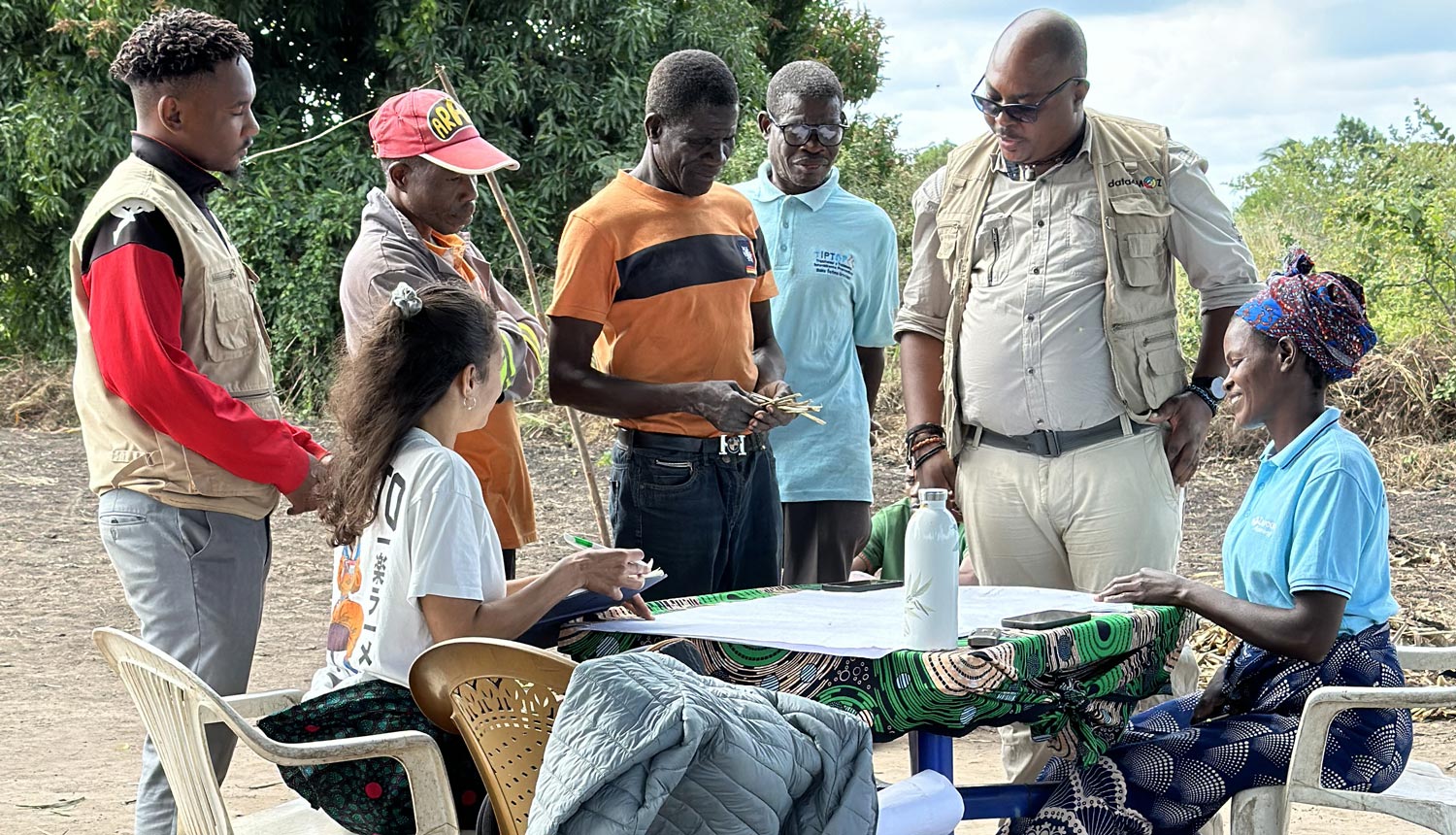
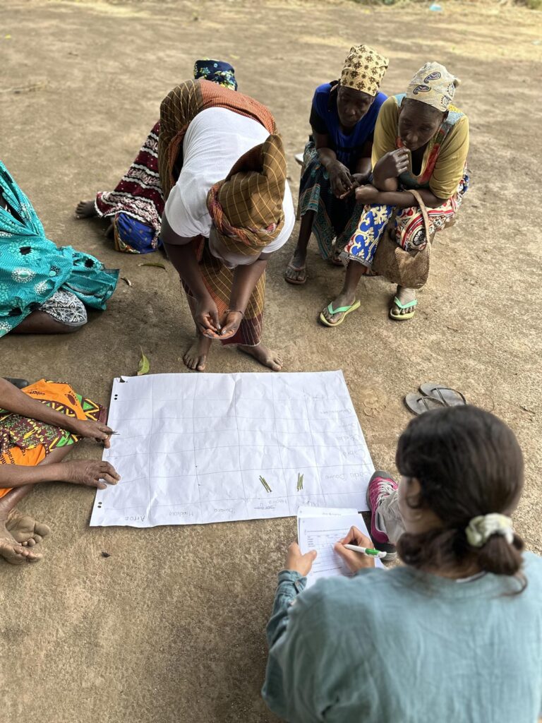
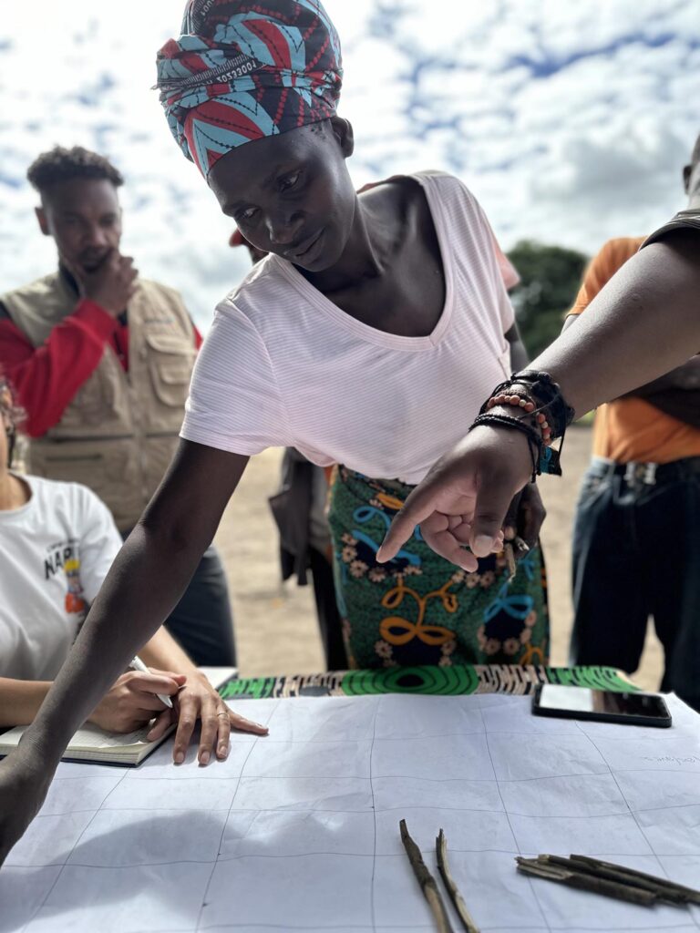
The LUISA project, focused on land use intensity and biomass management for climate change mitigation, saw a natural partner in CSE given its experience in environmental monitoring. CSE joined as the Senegalese Early Adopter, contributing to LUISA’s mission of assessing how human activities affect ecosystem productivity. “We engaged our team to assist and contribute in this demonstration project in order to have something useful to monitor the net primary productivity across the whole country, but also how humans can impact this productivity,” Diouf says of CSE’s involvement.
A core element of LUISA is an index called HANPP (Human Appropriation of Net Primary Productivity), which quantifies the share of plant growth (carbon) appropriated by people (through activities like agriculture, grazing, and fuelwood harvesting). CSE is helping to calibrate and test this tool on its home turf.
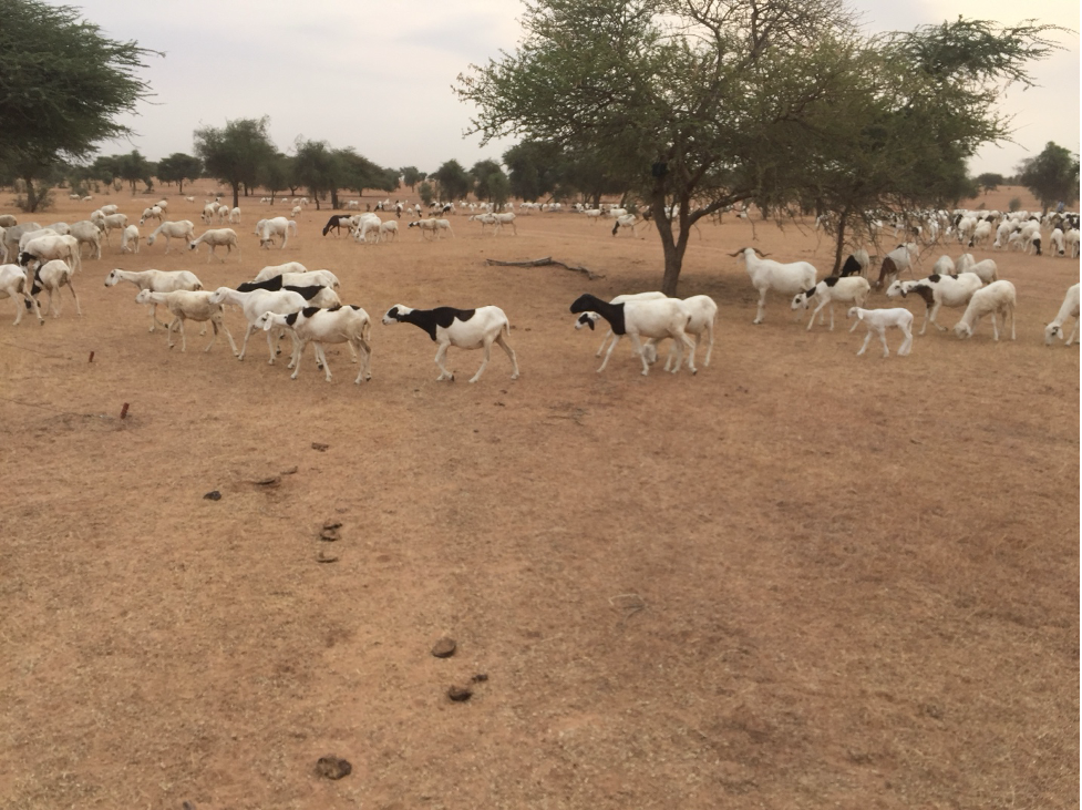
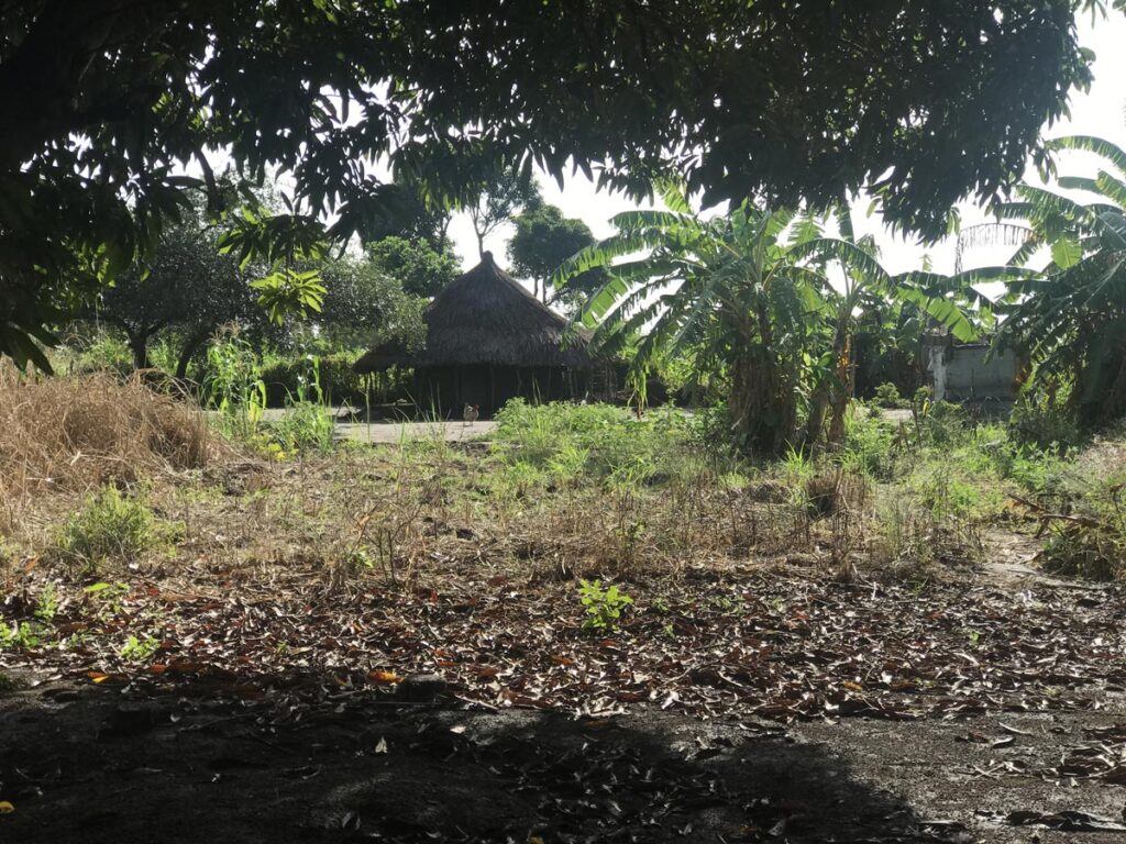
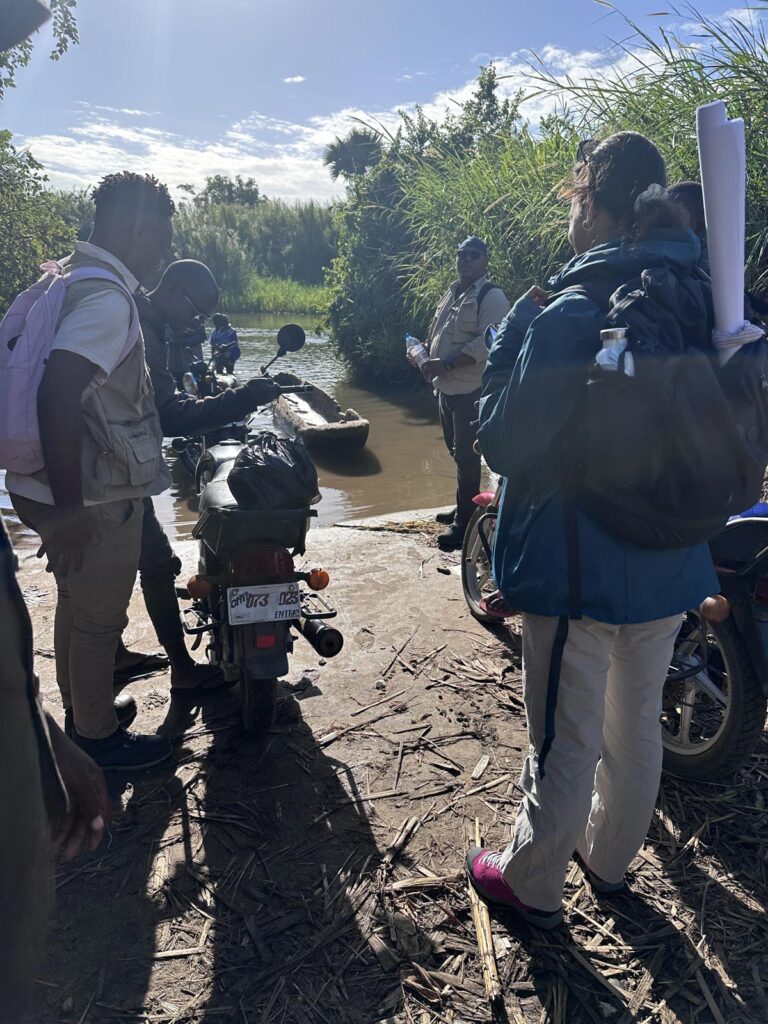
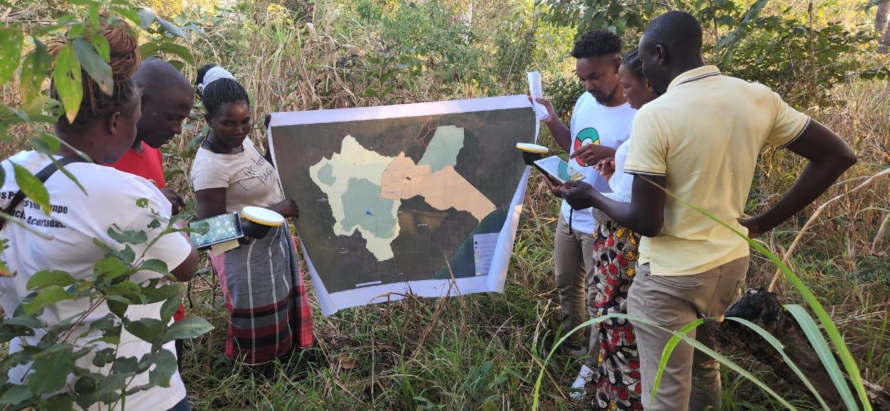
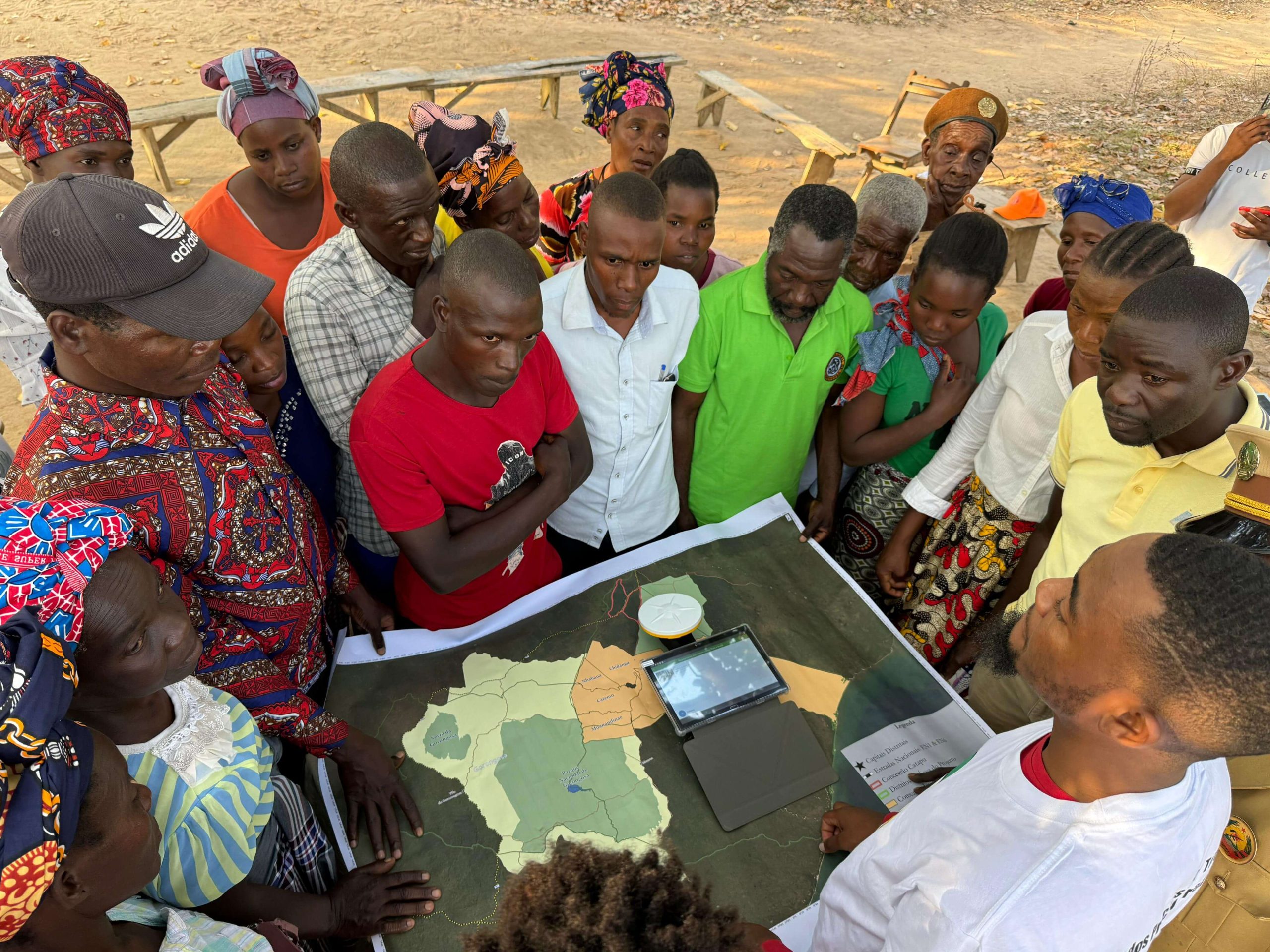
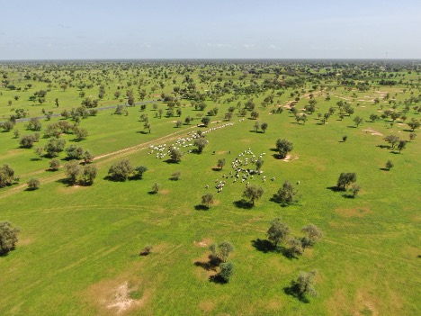
In Senegal, the LUISA demonstration is centered on the Ferlo region, a pastoral zone in the northeast that is crucial for livestock herding. This semi-arid region is one of the driest parts of Senegal, receiving only about 300 mm of rain per year compared to roughly 1200 mm in the verdant south. With such low and variable rainfall, the Ferlo’s pasture and water resources are under constant pressure. “Ferlo is the pastoral area of Senegal where livestock is dominant. We can use the HANPP tool to monitor how resources are being impacted by humans in this area,” notes Diouf, “and from there take decisions to prevent problems and give a better life to the population living there.”
Showcasing at AfriGEO
CSE’s leadership in Earth observation will be on display this year as it hosts the AfriGEO Symposium in Dakar. AfriGEO is Africa’s regional network under the Group on Earth Observations (GEO), and the symposium is a three-day conference (7-9 October) bringing together experts and institutions from across the continent. “It will be an opportunity to invite all African institutions working on Earth observation data to meet and discuss relevant questions,” Diouf explains, “and to improve the way the continent is… taking the most benefit from this data for our development and security.” The event, organized by CSE in collaboration with Senegal’s government ministries, underscores CSE’s continental role; Senegal is one of three countries (alongside South Africa and Nigeria) representing Africa in the executive committee of the global GEO initiative.
One highlight of the symposium will be the spotlight on LUISA’s tools. The CSE team is planning a live demonstration of the HANPP platform for the Ferlo case during AfriGEO, allowing policymakers and scientists from across Africa to see its capabilities firsthand.
A future with AI
Looking ahead, CSE sees technology and collaboration as pillars of its future work. Over nearly four decades, the center has continuously evolved in step with technological advances. “In 1986, maybe it was just about downloading imagery in small software to make maps, but now we are using cloud computing and artificial intelligence,” Diouf reflects.
From machine learning algorithms that improve land cover mapping to cloud platforms that handle big geospatial datasets, CSE is researching state-of-the-art tools to make environmental monitoring more efficient and insightful. These innovations will allow the team to detect changes in vegetation, climate trends, or resource use faster, and to provide more targeted advice to communities and policymakers.
Equally important, CSE is strengthening its partnerships at home and abroad. As an accredited climate finance institution, CSE will continue helping other African countries design projects for resilience, fostering regional cooperation through knowledge exchange and technical support.
Through LUISA’s platform, AI analytics, and a strong network of partners, CSE aims to guide Senegal towards a more resilient environmental future.
More information
For those interested in supporting or collaborating with, you can explore CSE’s programs and publications on their official site, and visit the AfriGEO initiative on the AfriGEO portal.