


Oct 03, 2025

The Land Use Intensity's Potential, Vulnerability and Resilience for Sustainable Agriculture in Africa (LUISA) project is committed to safeguarding the livelihoods of smallholder farmers and pastoralists across Africa
PORTAL
We develop a remote sensing-driven Human Appropriation of Net Primary Productivity (HANPP) monitoring framework for general land cover types in case study agroecosystems.
Net primary production (NPP) is the net amount of biomass produced by plants each year and a key ecosystem process providing the basic sustenance for all heterotrophs. Humans interfere with this process by transforming ecosystems in terms of land cover change, e.g. converting forests to croplands, and by extracting biomass to provide societies with food, animal feed, fiber or bioenergy. The framework of HANPP quantifies these alterations of NPP flows and hence the availability of trophic energy in ecosystems across land-use types and attributes them to various land-use processes and primary biomass products. This allows to assess and compare land-use intensities and resulting pressures on ecosystems across space and time.
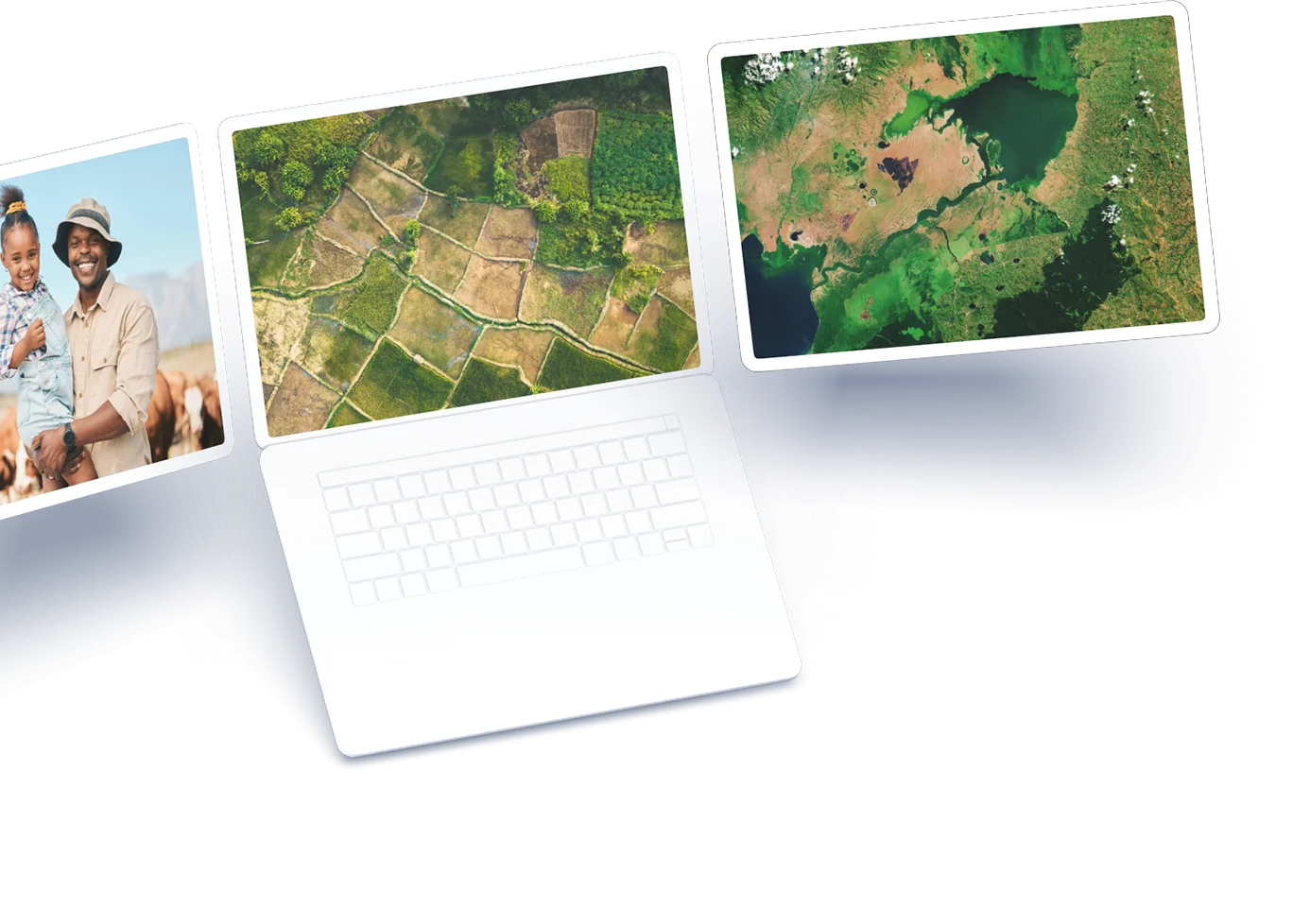
LUISA establishes a graphical user interface (GUI) that contains a visual representation of HANPP and intermediary products like crop yield and carrying capacity for the whole of Africa.
The GUI will be comprised of charts and other graphics that can be manipulated on-the-fly with a dashboard to facilitate users to understand the large volume of data in one centralized location.
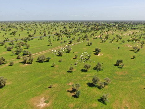
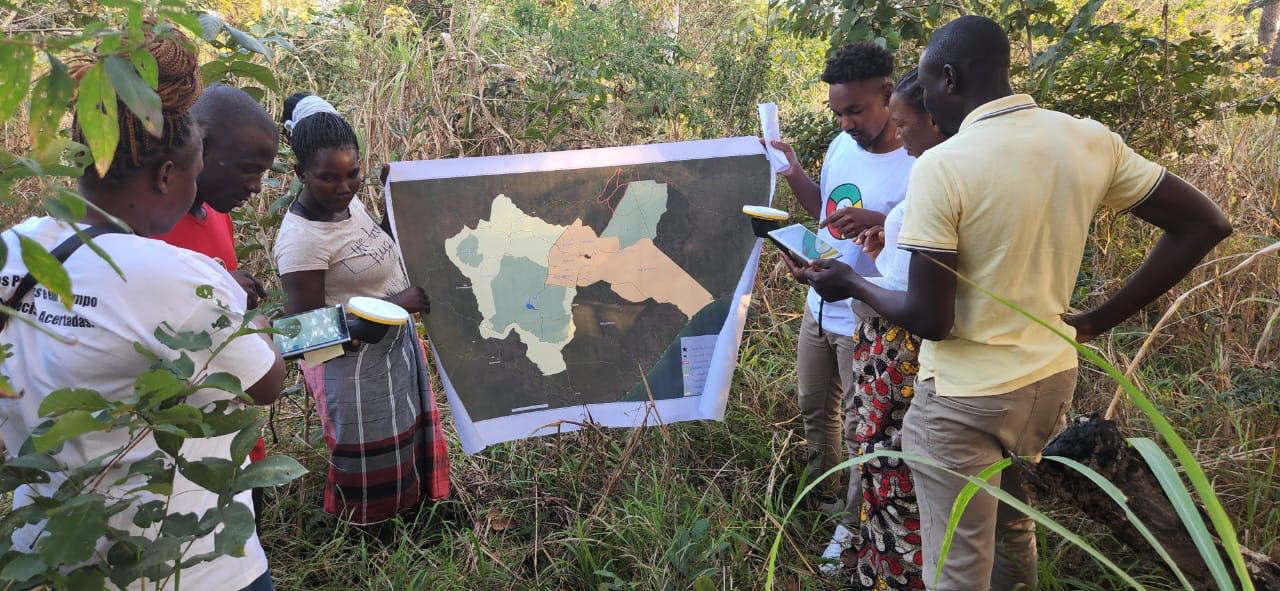
The case studies are representative of the variety of landscape conditions encountered in Africa
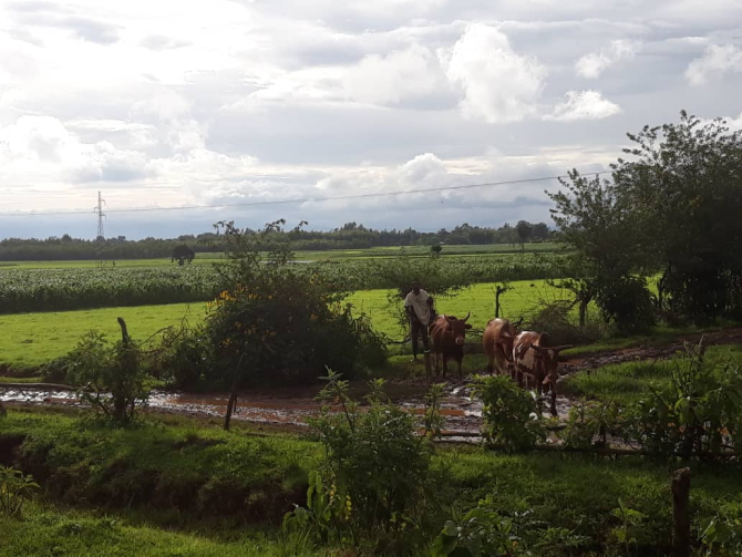
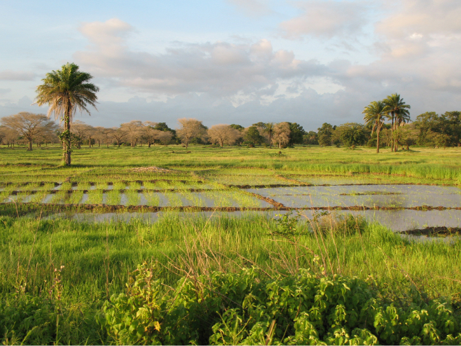
The Lake Tana basin is the headwaters of the Blue Nile River located in the north-western highlands of Ethiopia
Agriculture is the primary livelihood, which immediately supports the cities of Bahir Dar and Gondar. The area is a typical example of a smallholder highland farming system where farmers operate on highly fragmented fields of < 1ha fields. The agroecosystem traditionally consisted of staple crops such as tef, maize, wheat, mixed with animal production. New cropping systems are emerging, including flooded rice and eucalyptus plantations.
The Lake Tana Basin is a major freshwater resource for crop irrigation, livestock production, and hydroelectric power generation. It is also a silt refinery and biodiversity hotspot for the Blue Nile River. The wetlands of Lake Tana area are an integral part of the lake and play a significant role in sediment retention, flood protection, purification of the landscape, important breeding grounds for birds identified by IUCN as an important bird area.
The district of Nhamatanda encompasses two administrative posts, Nhamatanda-sede and Tica, each exhibiting distinct climatic patterns
The eastern region is classified as tropical rainy savannah climate, while the western region is classified as humid temperate tropical with an average annual rainfall of 1200 mm. The area fosters favorable conditions for agricultural activities because of the soils rich in organic matter and high water retention capacity.
Agriculture serves as the primary economic driver, predominantly conducted under rainfed conditions. Small family farms dot the landscape, engaging in manual cultivation practices, often intercropping varieties such as corn, cassava, mapira, beans, sweet potatoes, sorghum, rice, peanuts, sesame, and soybeans. Large-scale monoculture cultivation of crops like sugarcane and cotton is more common in the administrative post of Tica.
The post of Tica intersects the Beira Corridor (Beira Agricultural Growth Corridor-BAGC), a critical transport route in southern Africa. Consequently, areas traversed by this corridor witness heightened agricultural activity, amplifying the need for sustainable land management practices.
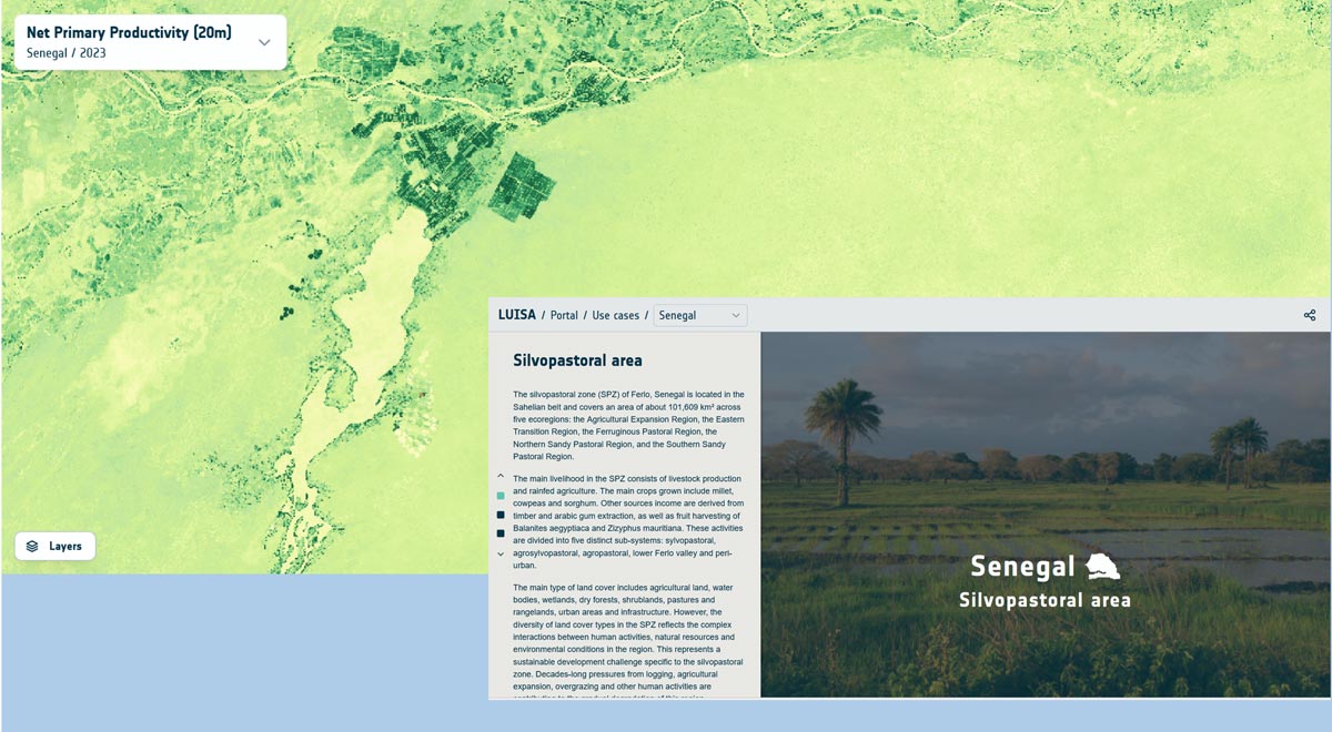
Silvopastoral Zone
The silvopastoral zone (SPZ) of Ferlo, Senegal is located in the Sahelian belt and covers an area of about 101,609 km² across five ecoregions: the Agricultural Expansion Region, the Eastern Transition Region, the Ferruginous Pastoral Region, the Northern Sandy Pastoral Region, and the Southern Sandy Pastoral Region.
The main livelihood in the SPZ consists of livestock production and rainfed agriculture. The main crops grown include millet, cowpeas and sorghum. Other sources income are derived from timber and arabic gum extraction, as well as fruit harvesting of Balanites aegyptiaca and Zizyphus mauritiana. These activities are divided into five distinct sub-systems: sylvopastoral, agrosylvopastoral, agropastoral, lower Ferlo valley and peri-urban.
The main type of land cover includes agricultural land, water bodies, wetlands, dry forests, shrublands, pastures and rangelands, urban areas and infrastructure. However, the diversity of land cover types in the SPZ reflects the complex interactions between human activities, natural resources and environmental conditions in the region. This represents a sustainable development challenge specific to the silvopastoral zone. Decades-long pressures from logging, agricultural expansion, overgrazing and other human activities are contributing to the gradual degradation of this region.
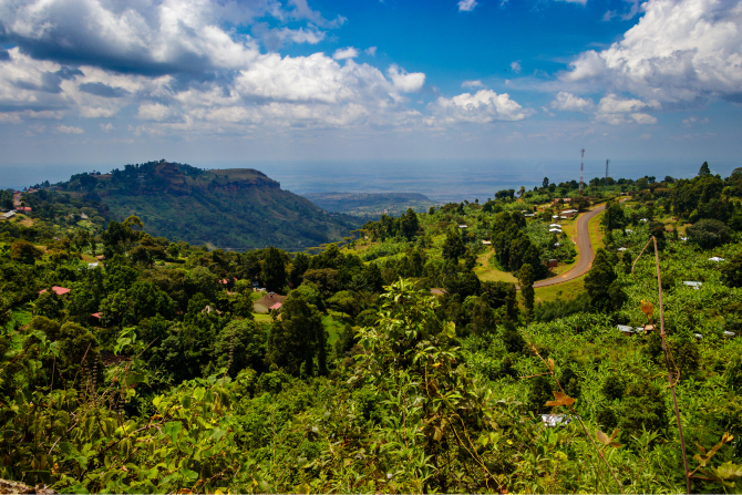
Coffee-banana agroecological system
The Bududa District is one of nine districts in the Mount Elgon of Eastern Uganda. Mount Elgon is one of the oldest volcanoes in East Africa. The Bududa District includes the headwaters of the Manafwa catchment. The district has an area of approximately 251 km² and consists of complex topography with altitudes ranging from 1500 to 4139 meters above sea level. The district receives rainfall amounts much higher than other districts in Uganda (annual average rainfall > 1500 mm).
The rainfall and soil conditions are generally supportive of agriculture which is the dominant land use in the area. Agriculture in the area is dominated by smallholder rainfed farms. Bududa District constitutes part of the coffee-banana agroecological system of Uganda. Farmlands consist of crops for domestic consumption and for cash such as banana, cassava, sweet potato, maize, coffee, onions, among others. Up to six crops can be intercropped, reflecting the high productivity of the soil.
The current population in Bududda district is estimated at about 300,000 with high population density of up to 1000 persons/km² vis-à-vis the national average of 160 inhabitants per km² . The annual population growth rate is about 3.6% which surpasses the national rate of 3.0%. Socio-economic pressures make the district prone to landslide and flood hazards often culminating.
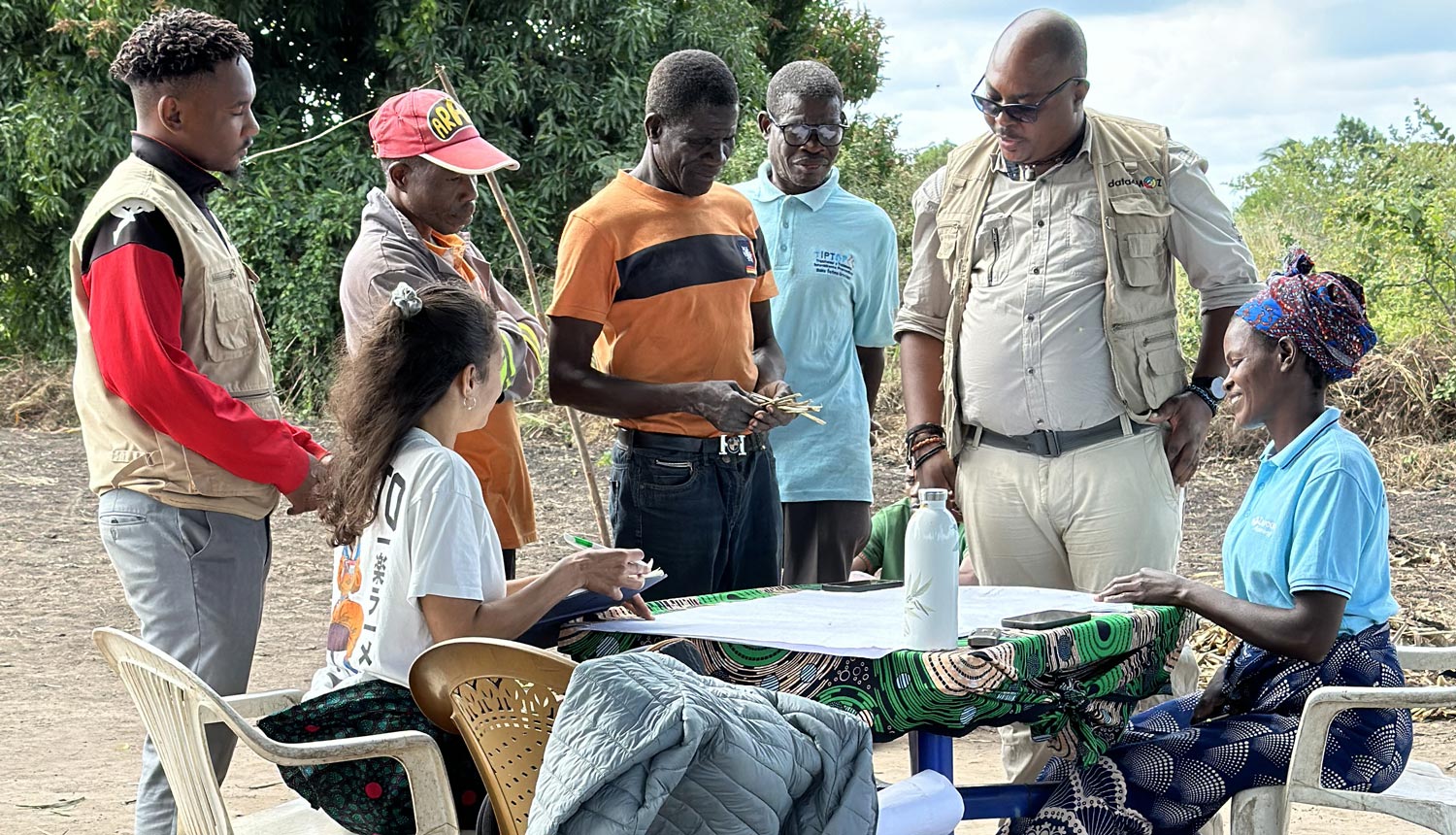
The platform developers of LUISA are defining the case studies jointly with the African partners
 past event
 Join our exclusive webinar and explore how Earth Observation and HANPP – Human Appropriation of Net Primary Productivity –...
 past event
 We are excited to announce that the EO AFRICA LUISA project will showcase its HANPP Continental Demonstrator at the...
 past event
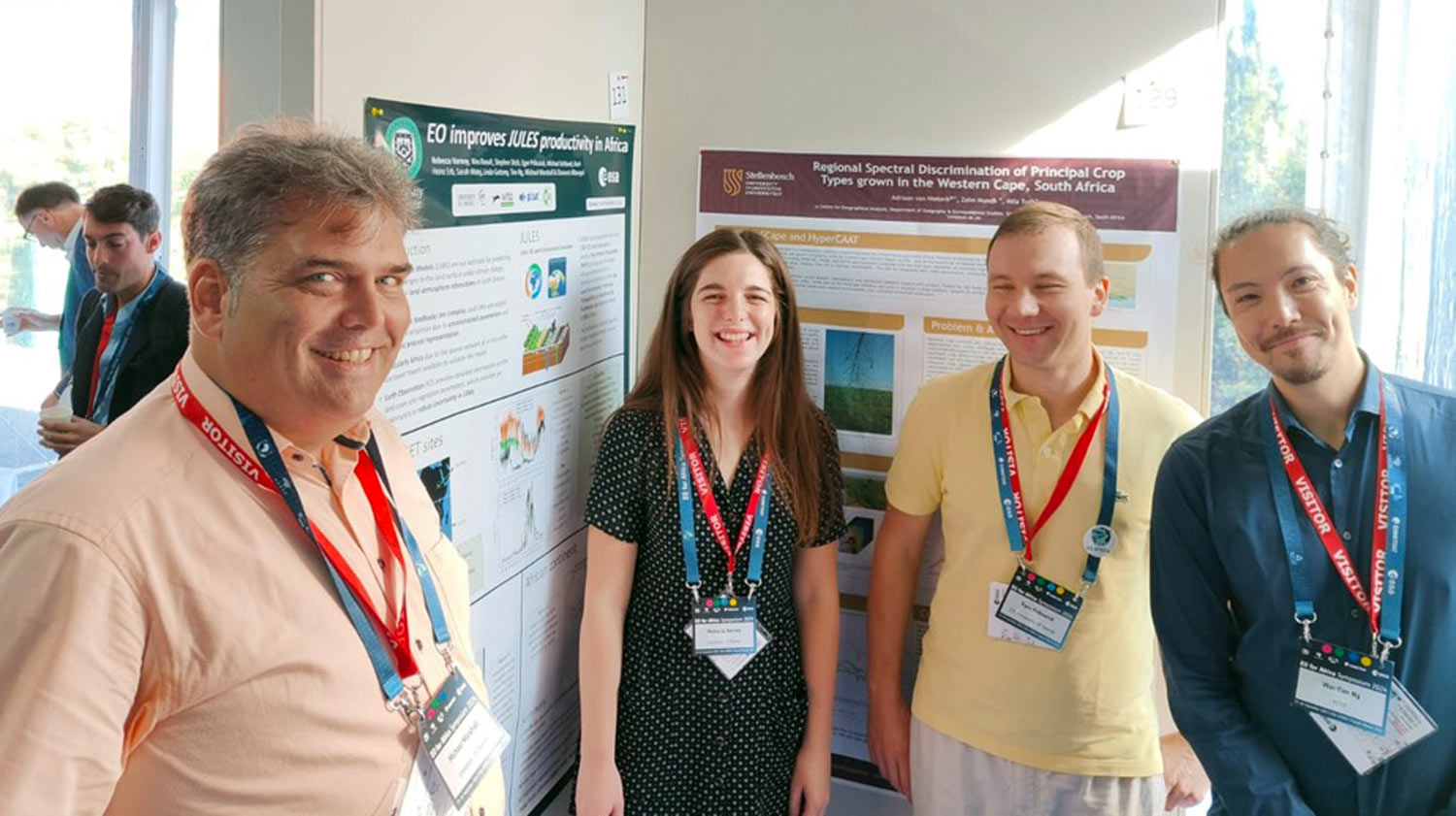
 At the ESA Living Planet Symposium 2025 in Vienna, LUISA will present a poster titled “EO Africa – Continental...