Oct 24, 2024

At the ESA Living Planet Symposium 2025 in Vienna, LUISA will present a poster titled “Scale influences on plant primary productivity as estimated with satellite-driven light-use efficiency models”.
POSTER ABSTRACT:
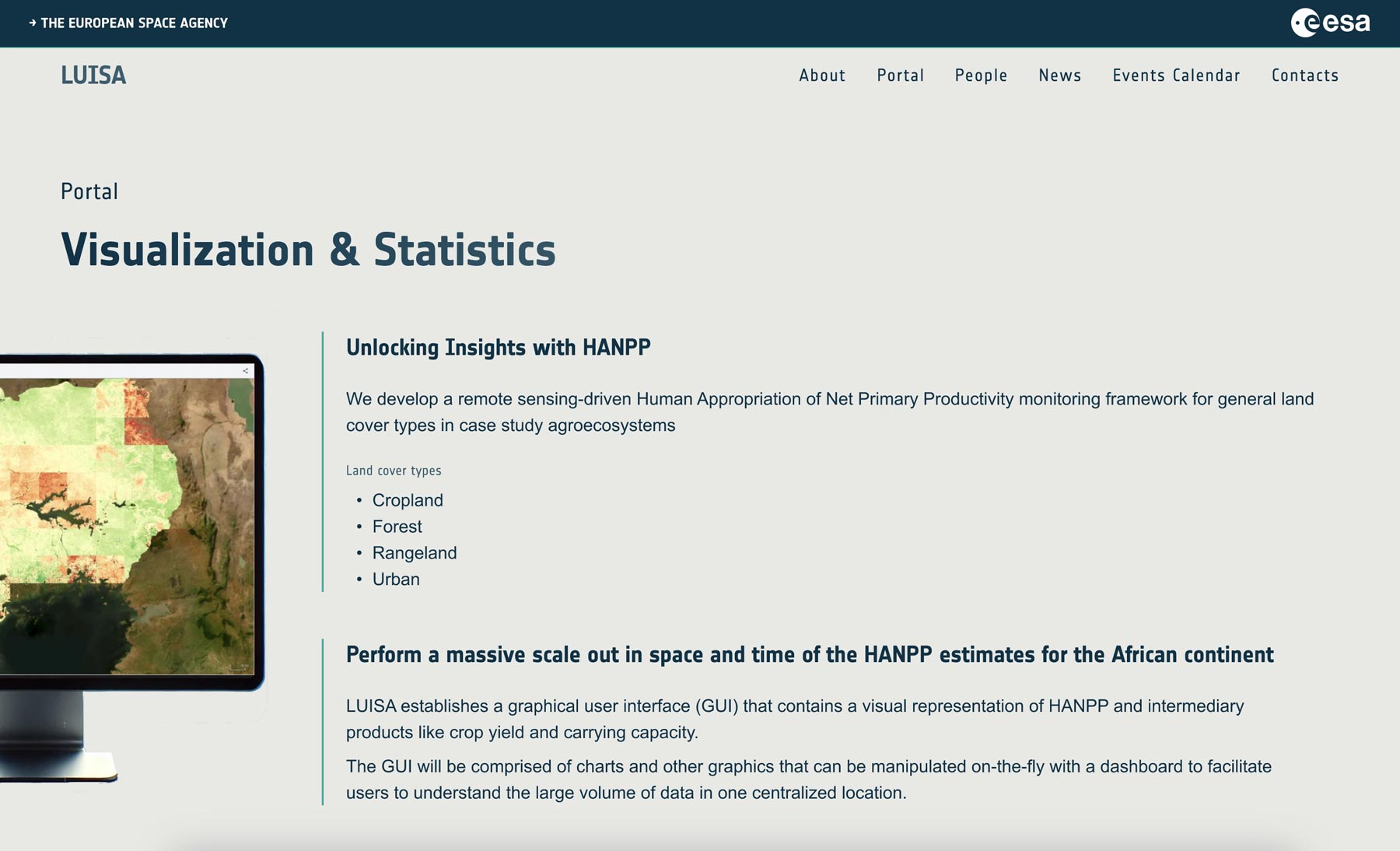
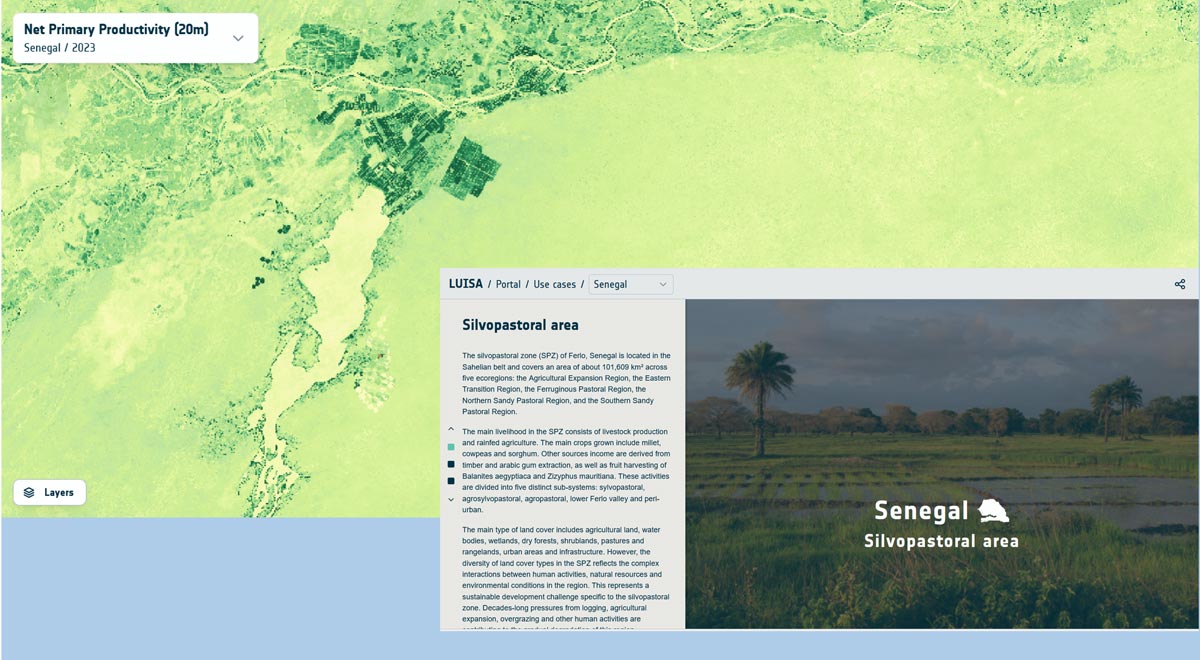
There is a growing need to align satellite image data to information requirements in the race for ever-increasing spatial, temporal and spectral resolution. Naturally, alignment depends on the objective of the study or application. In relation to the carbon cycle, light use efficiency (LUE) models that transform the fraction of absorbed photosynthetically active radiation (fAPAR) into grams of assimilated carbon have long required only two spectral bands, the red and the near-infrared acquired over multiple days. Being optimized for quick global gross primary productivity (GPP) mapping, the LUE models may result in bias when applied to images of higher (<= 20 m) spatial resolution. This study aimed to quantify the uncertainty of GPP introduced by the spatial scale of underlying fAPAR data. The study was performed in the scope of the European Space Agency's (ESA's) Land Use Intensity’s Potential, Vulnerability and Resilience for Sustainable Agriculture in Africa (LUISA) project. LUISA aims to quantify human pressure on the ecosystems as the difference between potential and actual net primary productivity (NPP); a key component of the so-called human appropriation of NPP (HANPP) framework. The NPP is computed with JULES (Joint UK Land Environment Simulator) Dynamic Global Vegetation Model (DGVM), parametrized with ESA CCI Land Cover and leaf area index (LAI) variables. However, JULES resolution is 0.5 deg (~50 km), which inevitably results in mixed pixels consisting of several land cover types and different seasonal LAI trends. To assess the representativeness of JULES simulations, NPP for four case study regions in Ethiopia, Mozambique, Senegal and Uganda and 14 eddy-covariance sites across Africa was computed with the PEMOC model, a big leaf LUE model, at 20 m resolution with Sentinel-2 image data. Through the steps of degrading resolution from 10 m to 50 km, the profiles of area homogeneity and the NPP uncertainty were characterized. Preliminary results computed on a single image show that in an idealized case of scale-invariant PEMOC parameterization, the mean bias error (MBE) reaches 2% (relative to the range of NPP values) and the mean absolute error (MAE) reaches 3% (relative to the range of NPP values) at 500 m. The temporal evolution of the error and its influence on accumulated NPP (biomass) will be discussed. The results of the NPP product comparison may suggest novel strategies for high-resolution EO data integration into DGVMs.