Oct 03, 2025

21 October 2024
Egor Prikaziuk, Assistant Professor in the Department of Water Resources at the Faculty ITC and key member of the LUISA team, shared insights into the project’s objectives and his experience at the EOAfrica Symposium.
LUISA, standing for Land Use Intensity’s Potential, Vulnerability and Resilience for Sustainable Agriculture in Africa, is a continental demonstrator under the broader umbrella of the European Space Agency’s EOAfrica initiative.
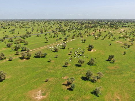
Unlike other projects that focus on specific regions, LUISA aims to provide a comprehensive map of the entire African continent, covering various types of vegetation used as rangelands, croplands, forests and urban vegetation.
The main objective of LUISA is to develop and implement new methods, effectively linking and integrating modelling, satellite Earth Observation, and datasets with in-situ, stakeholder-generated, social-economic data to advance the estimation of continental Africa potential, vulnerability and resilience for sustainable agriculture.
One of the unique aspects of the LUISA project is its focus on human impact on ecosystems. As Egor explains, “We try to quantify how much biomass expressed in units of carbon was taken up by humans, either as harvested grains or grazed by cattle” This includes measuring how changes in land use affect the carbon balance, which is crucial for understanding the environmental impact of human activities and for climate mitigation.
In the past, biomass was estimated from national statistics. LUISA introduces a new approach, employing a combination of satellite data and ground-based measurements to achieve its goals. “We use satellite products to estimate this, but the second biggest component is weather data,” Egor notes. This dual approach of using satellite and weather data ensures that the data collected is both comprehensive and precise.
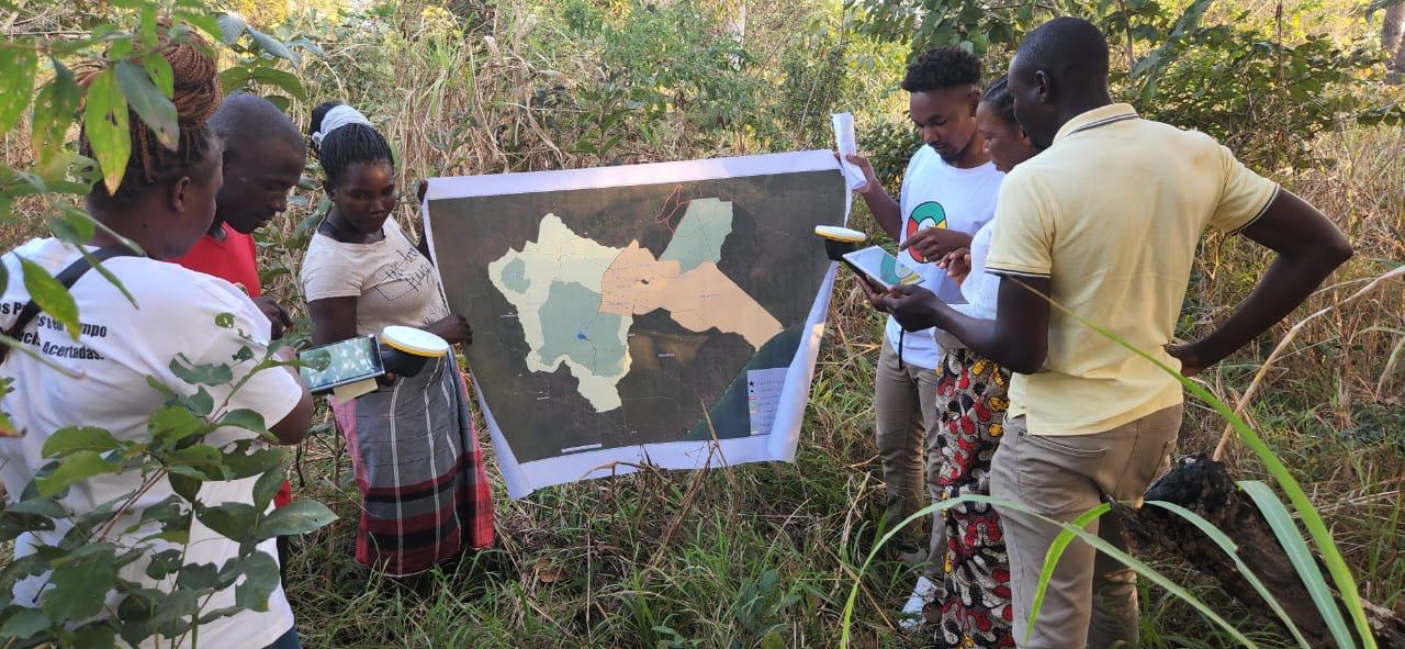
Although the LUISA project is currently at its mid-term, significant progress has already been made. The team has created detailed maps for four case study regions: Senegal, Ethiopia, Uganda, and Mozambique. These maps, which have a resolution of 20 meters, will be scaled up to cover the entire continent at resolutions of 300 meters to 1 kilometre. The information LUISA has collected in these case study regions could be crucial for developing sustainable land use policies and practices.
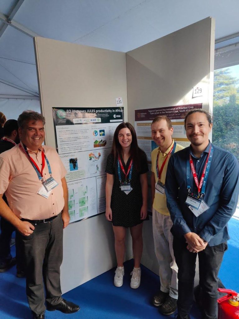
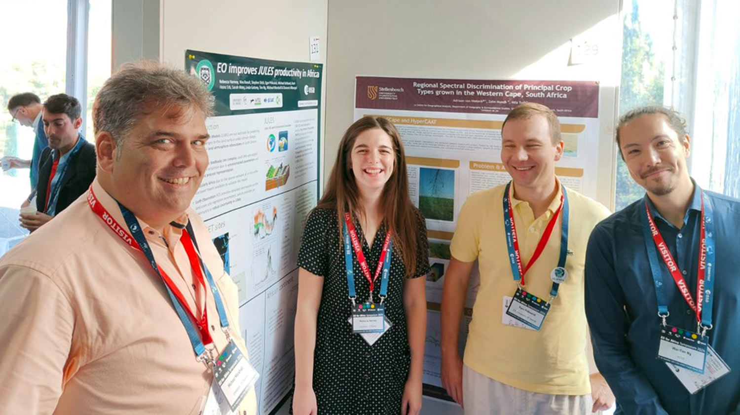
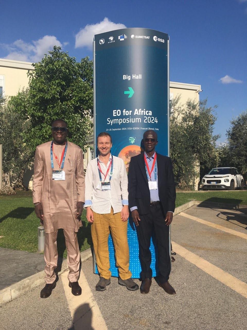
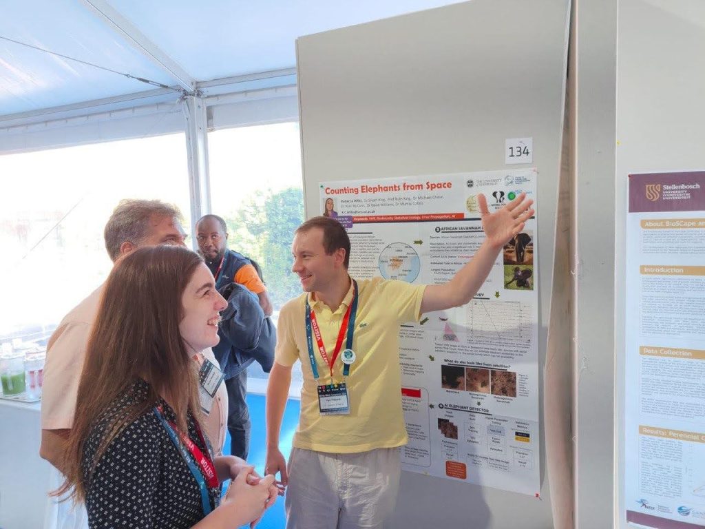
The EOAfrica Symposium 2024 provided an excellent opportunity for the LUISA team to present their work. The team showcased three posters, each highlighting different aspects of the project.
One poster, presented by ITC Assistant Professor Michael Schlund, gave a general overview of LUISA, while a poster submitted from the University of Exeter focused on assimilating leaf area index (LAI) to estimate Net Primary Productivity (NPP)–two important components of biomass modelling. Egor’s poster detailed a small-scale comparison study, demonstrating only a 2% information loss when degrading scales to estimate NPP.
Due to the highly technical focus of the symposium, Egor noticed that the concept of integrating social relevance into remote sensing data was still new to many attendees. He observes:
“I think it’s a bit new for the remote sensing community to go that deep into the social aspects”
In this regard, LUISA is an opportunity to engage the geospatial community in the value of measuring human influence on ecosystems.
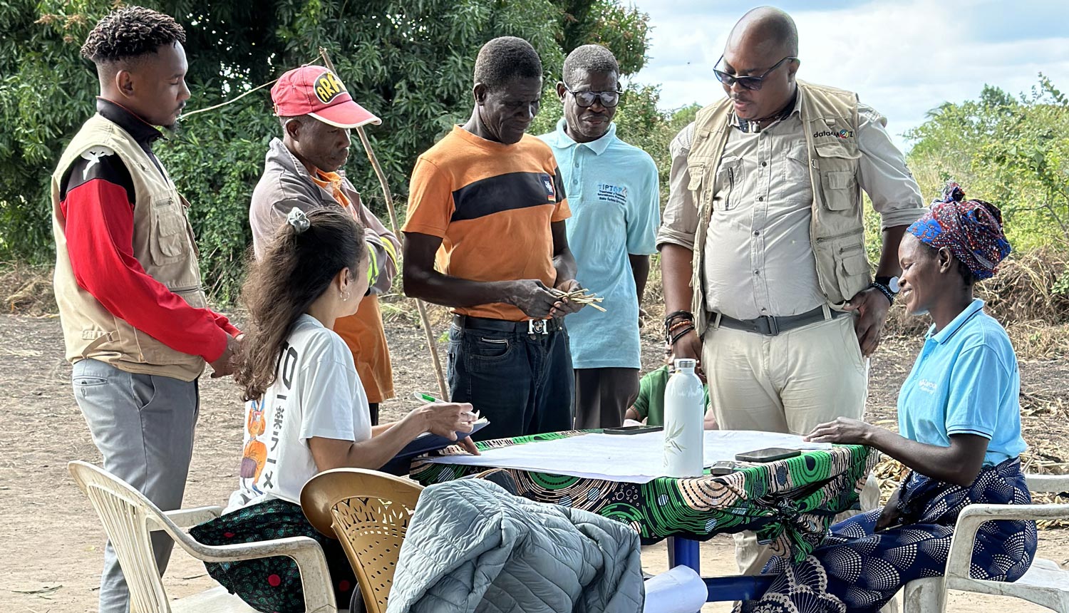
The LUISA project is set to enter its next phase, which involves scaling up the case studies to a continental level. This phase will be led by the Belgian research centre VITO. Additionally, the team plans to hold training activities in Africa next year to involve stakeholders (Bahir Dar University, DATA4MOZ, CSE, Makerere University) from the case study regions (Ethiopia, Mozambique, Senegal, Uganda) and disseminate findings.